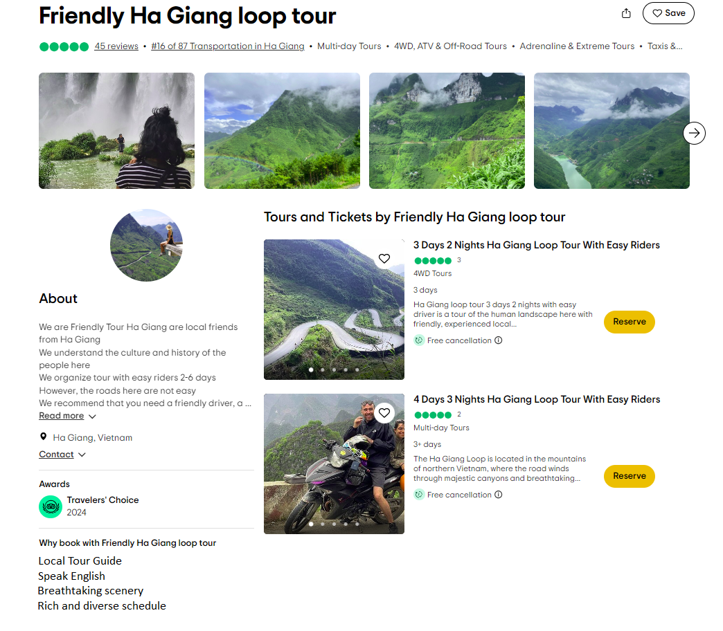
Friendly Tour – Ha Giang Trips of friends Detailed schedule of Tour 3 Days 2 Nights
Journey From Ha Giang – Quan Ba – Yen Minh – Dong Van – Ma Pi Leng –Nho Que River.
Day 0 ( 300 km in sleep bus )
21:00 The bus will pick up you from Ha Noi or Sapa to Ha Giang
3:00 am arrive at the resting point in Ha Giang city.
Day 1 : ( 150 km ) Ha Giang City – Dong Van
7:30 wake up and have breakfast.
At 8:00 Star the loop.
Check in on the way, maximum stops are 30 minutes
The first point Bac Sum slope top .
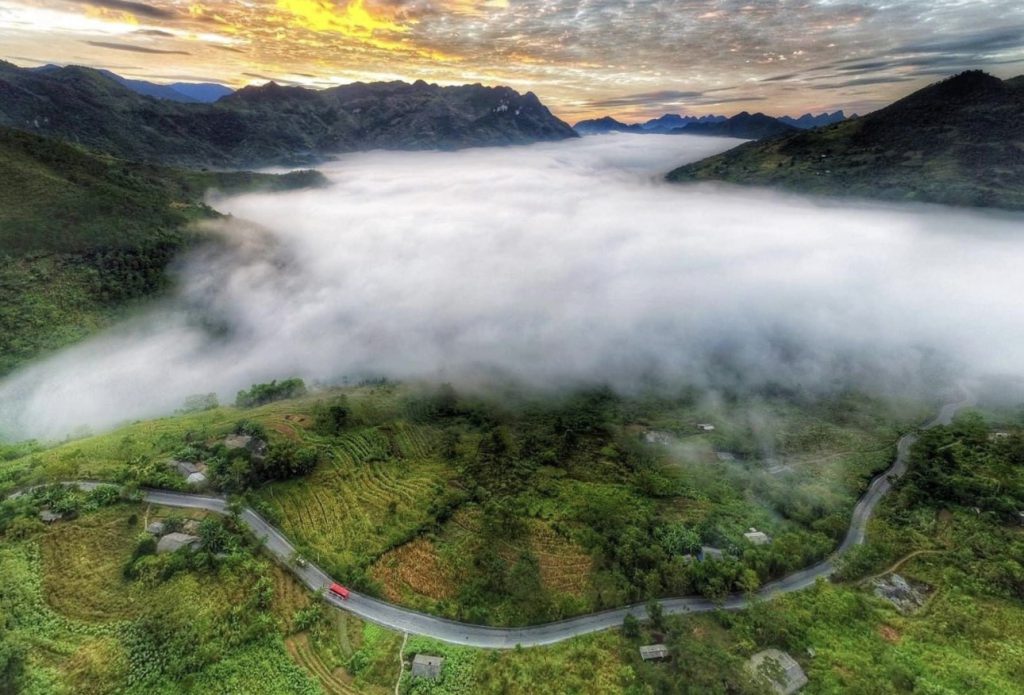
(As the longest slope in Ha Giang, Bac Sum
Slope has a total length of 7km and is located at an altitude of more than 450m
above sea level. Bac Sum – Ha Giang slope is a pass on National Highway 4C,
and is also a ‘bridge’ connecting the territories of Minh Tan commune (in Vi
Xuyen district) and Quyet Tien commune (in Quan Ba district).
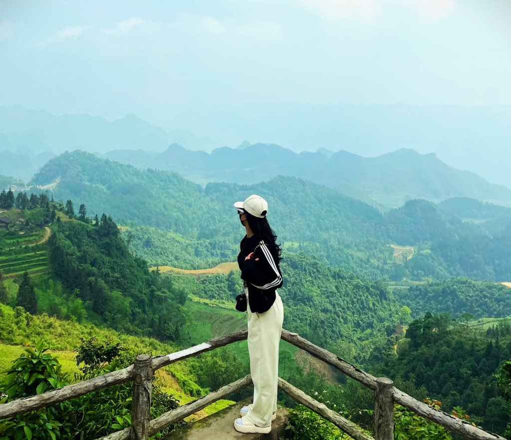
Quan Ba Heaven Gate ( Quan Ba Heaven Gate is located at an altitude of
1500m above sea level, 46km north of Ha Giang city center, about 3km from
Tam Son town, and is the first gateway on the journey to conquer the plateau. 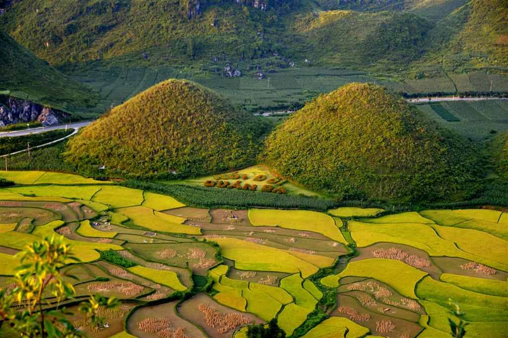 Co Tien Twin Mountain( Co Tien Twin Mountains, also known as Quan Ba.
Twin Mountains, is a relic consisting of two mountains located adjacent to each
other in Quan Ba valley. This valley is located in Tam Son town, Quan Ba.
district, nearly 50km north of Ha Giang city center. ).
Have lunch at Yen Minh between 11:30 am. Afternoon go check in points.
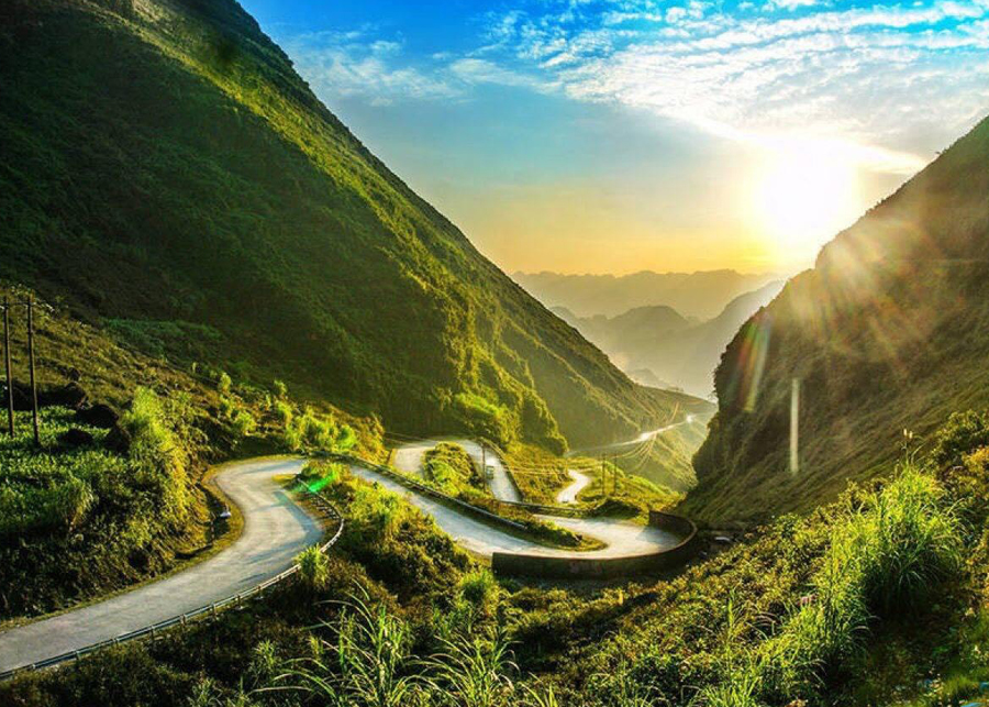
Tham Ma Slope ( Located right on Highway 4C, Tham Ma Slope is the most
dangerous winding pass in the North connecting Ha Giang city and Meo Vac
district. This is the slope connecting the road from Yen Minh town up to Pho
Cao )
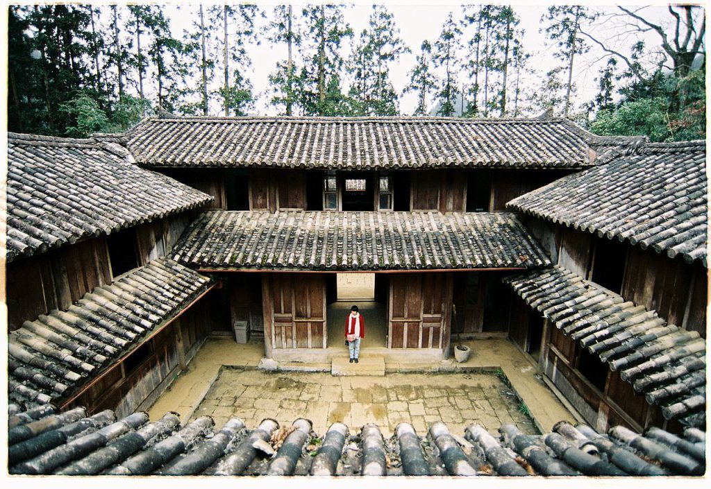
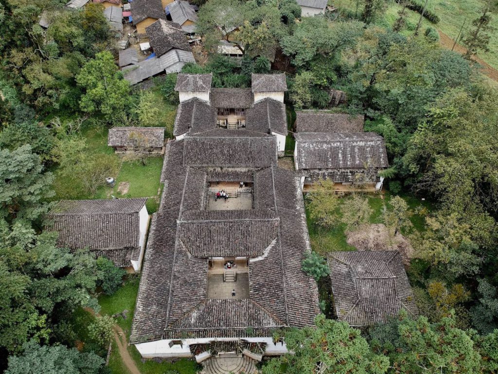
Visit Hmong King Mansion ( King Hmong Mansion, also known as Vuong’s b
Mansion, is located in Sa Phin valley, Lung Phin commune, Dong Van district,
Ha Giang province, about 125km from the city center and from the Dong Stone
Plateau. Famous Van is only 15km away. This ancient house is associated with
the life and career of two Mong father and son, King Hmong Vuong Chinh Duc
and Vuong Chi Sinh (or Vuong Chi Thanh). Mr. Vuong Chinh Duc (1886 –
1962) was the head of the feudal land government in the mountainous areas of
the Mong people, so he was also known by the powerful name of King Hmong )
Move back to Homestay in Dong Van Town and rest here
Arrive at the property at 6:00 p.m.
Have dinner then go for a walk and explore Dong Van ancient town
Formed from the early 20th century until now, Dong Van ancient town is located
in Dong Van town, Dong Van district, Ha Giang province. This is where many
people of the Mong, Chinese, Tay, Dao, Nung, and Kinh ethnic groups live.
Coming to Dong Van ancient town, you will have the opportunity to experience
many different cultures.
Day 2 : 150km Dong Van – Ma Pi Leng Pass – Nho Que River– Du Gia Vilage
Wake up at 7:30 am have breakfast.
8:00 move to Ma Pi Leng Pass ( Dubbed the king of passes in the
Northwest mountains, it is a dangerous pass route about 20km long,
located in Pa Vi and Pai Lung communes,
Meo Vac district and Ta Lungcommune, Dong Van district. 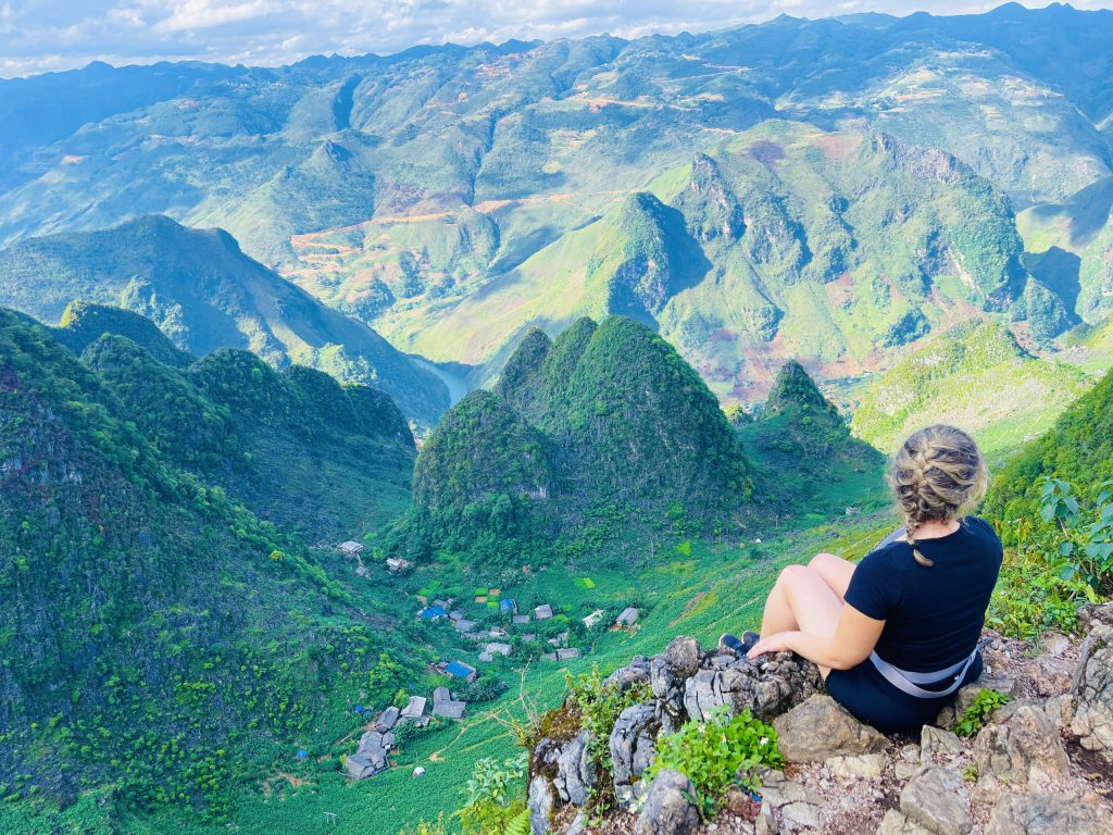
Ma Pi Leng peak is located at an altitude of 1,200m in the Dong
Van Karst Plateau on the road named Hanh Phuc connecting
Ha Giang city with Dong Van and Meo Vac districts. From the.
top of Ma Pi Leng, visitors can enjoy a panoramic view of the.
Dong Van Stone Plateau. Majestic mountain scenery with steep
cliffs on one side and the deep abyss of the Nho Que River with
emerald green water on the other
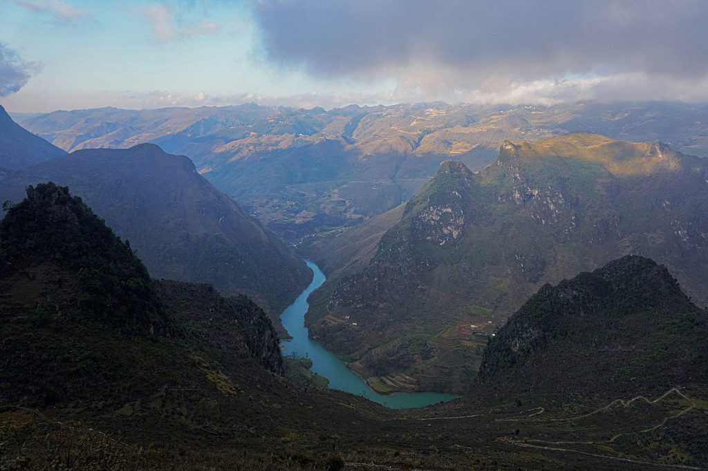 Nho Que River ( Originating from the Nghiem Son mountain area (Yunnan,
China) at a height of 1,800m, the Nho Que River in Ha Giang flows northeast,
through wild and dangerous mountains and forests, pouring into Lung Cu.
commune, Dong Van to enter Vietnam. The river continues downstream through
the Tu San canyon, along Ma Pi Leng. When it reaches Meo Vac, it splits into
two branches and flows into Cao Bang province, finally merging with the water
of the Gam River at the Na Mat junction
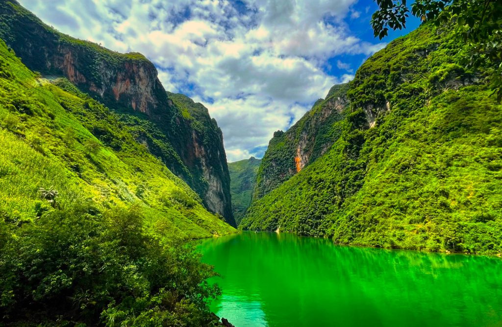
Visit Tu San Canyon ( Tu San Canyon located in Giang Chu Phin commune,
Meo Vac district, Ha Giang province, is one of the most beautiful landscapes in
the Dong Van Stone Plateau. The canyon has a natural length of about 1.7 km,
a depth of 1,000 m, a cliff height of 700 – 800 m, and is known as “the most
majestic”)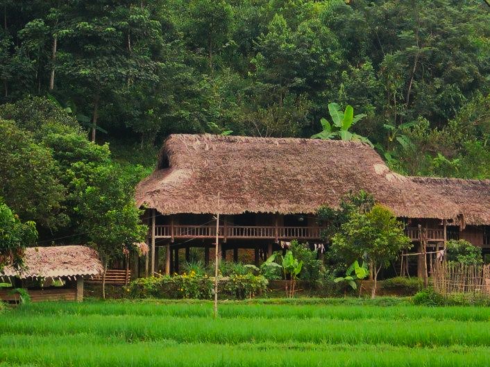 Du Gia village
Move to Du Gia Village, Stay at here (Du Gia Ha Giang is famous for its wild and
majestic natural landscape of rivers, mountains, clouds and sky, but is also.
equally poetic, making anyone who comes here fall in love with its fairyland -like
beauty. That’s why Du Gia Ha Giang gradually becomes a tour ist destination .
visited by many young people at home and abroad. Here, you can immerse.
yourself in the wild mountains and forests, admire the charming landscapes and
learn about the cultural identity, unique customs and traditions of the warm –
hearted and hospitable ethnic people ).
Day 3 : 90km Du Gia Village – Road M – Hemp Weaving
Village Lung Tam – Ha Giang City
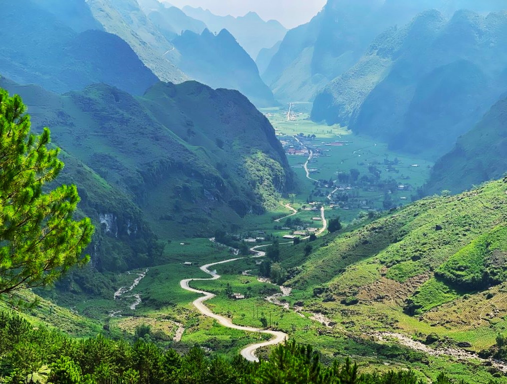
8:00 wake up and have breakfast
Move to road Đuong Thuong
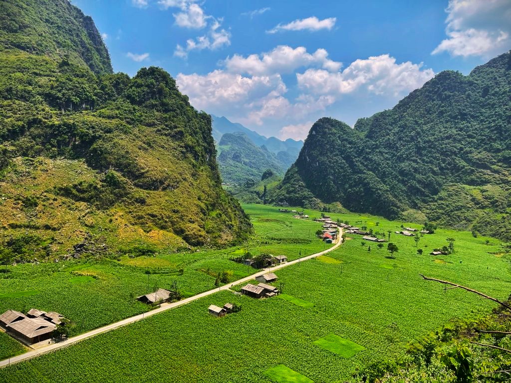
Then move to Ha Giang along Thuan Hoa – Thai An road
Lung Tam village
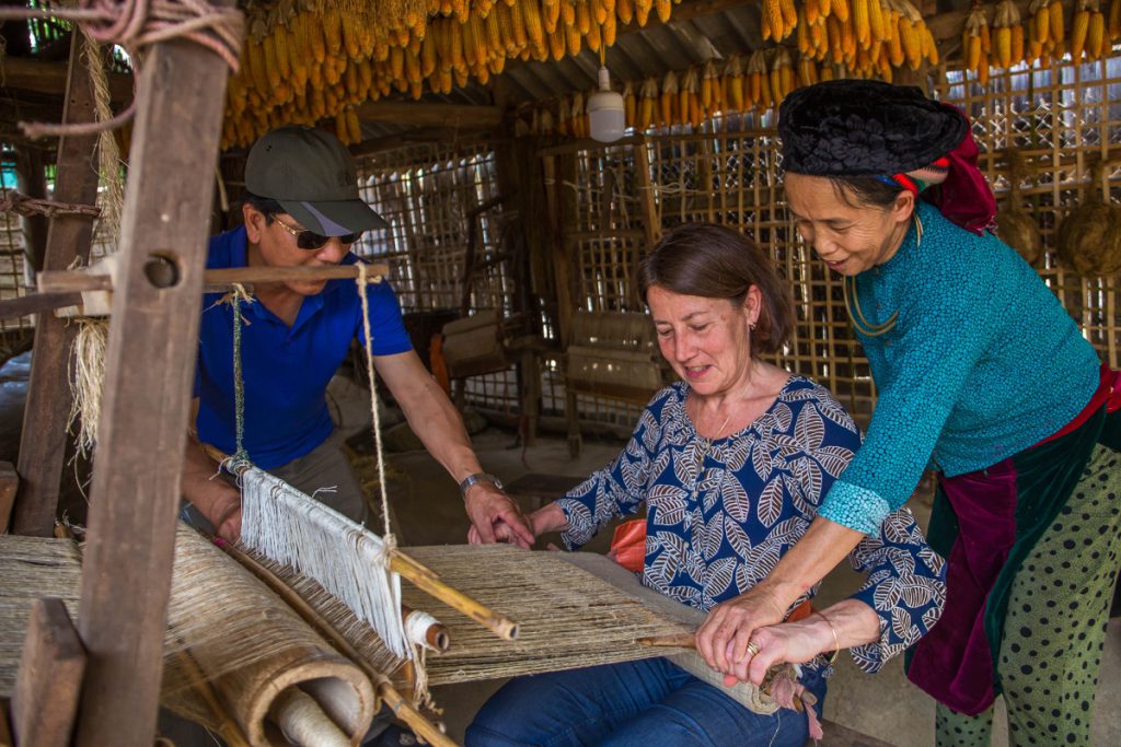
Arrive in Ha Giang citythe end of schedule at 4:30 pm
8:00 pm the bus will pick up you to Ha Noi or Sapa.
Friendly Tour is pleased to serve you and wish you a safe and happy trip !
Tags: FRIENDLY HA GIANG LOOP TOUR, Ha Giang loop, HA GIANG LOOP TOUR 3 DAYS


